![Hail And Rain Pound Rolling Hills Wyoming [GALLERY]](http://townsquare.media/site/103/files/2012/07/hail13.jpg?w=980&q=75)
Hail And Rain Pound Rolling Hills Wyoming [GALLERY]
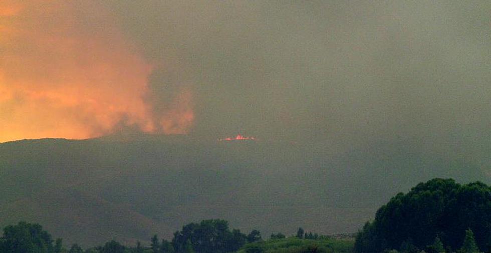
With the dry weather, red flag warnings and fires burning across the state, when the forecast started calling for thunderstorms, we cheered. However, as is often the case in the West, it all seems to come at once.
Yesterday afternoon as the day warmed the thunderstorms built and the warnings were broadcast to include Albany, Platte, Niobrara and Converse County all counties with fires burning and the thought of rainfall a welcome forecast. As winds aloft were rather quiet, this meant slow moving, lumbering storms that could dump large amounts of rain and hail. This was certainly the case just outside of Glenrock, near the community of Rolling Hills.
Our friend Patty George Grose snapped some pics and had this to say about the storm,
This storm came thru our place about 2 hours ago, that is hail piled up in the one draw at least 15 feet deep! Filled our pond at the house, yea for the deer and the antelope, ran our pond at the 80 over and almost went over the damn, the 80 acres is completely under water also!
Here is a gallery of some of Patty’s shots.


Severe weather warnings were also posted across Johnson County yesterday afternoon and storms in the Northeast corner of the state prompted tornado warnings that didn’t expire until almost midnight last night. For complete coverage on severe weather across Wyoming, Keep it tuned to AM1030 KTWO.
More From 107.9 Jack FM

![Loverboy Coming To Cheyenne Frontier Days And Releasing New Music [VIDEO]-[POLL]](http://townsquare.media/site/103/files/2012/07/Loverboy1.jpg?w=980&q=75)


![The Music Of Fireworks Festival 2012 [PHOTOS] [VIDEOS]](http://townsquare.media/site/103/files/2012/07/DSC_0226.jpg?w=980&q=75)
![Fireworks Festival 2012 Lights Up The Sky [PHOTOS] [VIDEO]](http://townsquare.media/site/103/files/2012/07/DSC_0453.jpg?w=980&q=75)
![San Diego’s Big Bay Boom Fireworks Show – Fail [VIDEO]](http://townsquare.media/site/103/files/2012/07/big_bay_boom_2012.png?w=980&q=75)