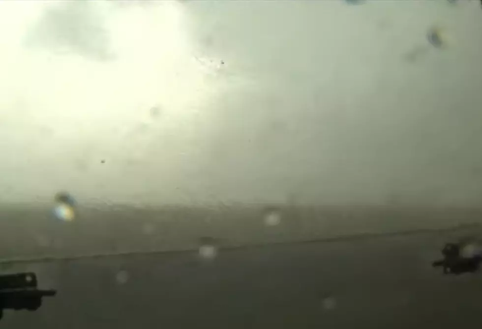
Wyoming Sees Three Rare EF-3 Tornadoes Since June
One of the two damaging tornadoes that touched down near Douglas on July 28th has been rated as an EF-3, making it the third such strong tornado in Wyoming since June 1st. According to the National Weather Service in Cheyenne, the first tornado formed just north of Wagonhound Road near Rattlesnake Hill. The NWS Damage Survey results classified that as an EF-3, which carries maximum winds of 165 m.p.h.. That tornado had a maximum width of 350 yards and a path of 4.5 miles.
The second, weaker tornado touched down near the west fork of La Bonte Creek and Esterbrook Road. That was classified as an EF-1, which carries winds up to 110 mph, and had a maximum width of 150 yards and a two mile path. The Weather Service says the results of these two events are preliminary and may change in the coming days.
According to The Weather Channel, Wyoming's two other EF-3 tornadoes this year hit north of Laramie on June 6th and west-northwest of Gillette on June 1st. Information from that site says before this year, the last tornado to hit Wyoming before 2018 with estimated winds EF-3 or stronger was July 21st of 1987, when an EF-4 tornado struck Teton County east of Jackson causing some $2.5 million in damage.
Wyoming has also seen an unusual number of tornado warnings this year. The National Weather Service had issued 51 tornado warnings in different parts of the state through the end of July. The average over the past ten years has been 19 tornado warnings per year.
More From 107.9 Jack FM


