High Wind Watch Upgraded To Warning For Casper Area
The National Weather Service in Riverton has now upgraded a High Wind Watch between Lander and the Casper area to a High Wind Warning. The Warning is in effect from 2:00 Tuesday morning to 8:00 Tuesday evening.
According to National Weather Service meteorologists, southwest winds will increase to 25 to 45 m.p.h. early Tuesday morning and continue through Tuesday evening, with the potential for 55 to 65 m.p.h. wind gusts during this period.
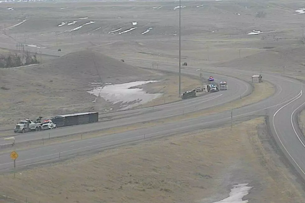
Travelers between Lander, Muddy Gap and Casper may encounter strong and erratic wind gusts and patchy areas of blowing snow. Sudden, strong cross winds could enhance the blow-over risk for light weight and high profile vehicles.
A High Wind Warning means a hazardous high wind event is either expected or occurring. Sustained wind speeds of at least 40 m.p.h. or gusts of 58 m.p.h. or more can lead to property damage.
More From 107.9 Jack FM