Weather Service: Winter Storm Watch Issued for Western Wyoming, Part of Natrona County
The National Weather Service in Riverton has issued a winter storm watch for Wyoming's western and central mountains from late Thursday night through Saturday morning.
The watch, issued Wednesday afternoon, includes a northwestern portion of Natrona County.
According to an urgent weather message from the NWS, rainfall along and behind a strong cold front will turn to snowfall at elevations above 10,000 feet after midnight Thursday night.
The snow level will gradually lower to 7,000 feet by Friday night. Snowfall will be heavy at times through Saturday morning, with the heaviest snowfall likely occurring late Thursday night and Friday morning, the National Weather Service says.
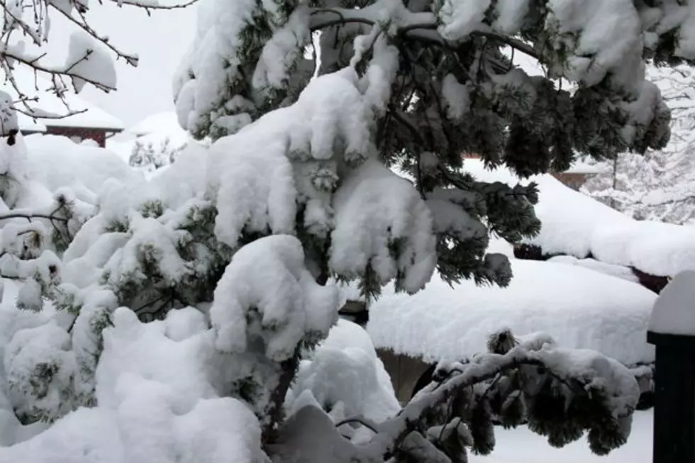
The NWS says amounts of 4-8 inches above 7,500 feet, 8-16 inches above 8,500 feet and 16-20 inches above 9,500 feet are possible.
Powder River and Granite Pass may become slick and snow-covered, making travel difficult.
Hikers and campers should prepare for sharply colder weather along with potentially significant snow accumulations on hiking trails.
For a map of the areas affected by the storm watch, click here.
The National Weather Service says an unseasonably cold weather system will swing southeast from British Columbia toward Wyoming at the end of this week. Pacific moisture will feed the storm system, possibly resulting in very abundant snowfall amounts for the mountains of western and central Wyoming from late Thursday night through Saturday morning.
More From 107.9 Jack FM