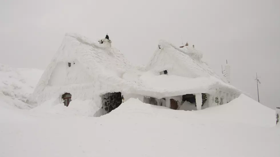
Here’s What Central Wyoming Looked Like After A Major October Snowstorm
We were all warned that winter weather was headed our way.
Though true to form no one really trusted what the weather people said.
And who could blame us?
After all, we were told to expect anything from 3 inches to over a foot.
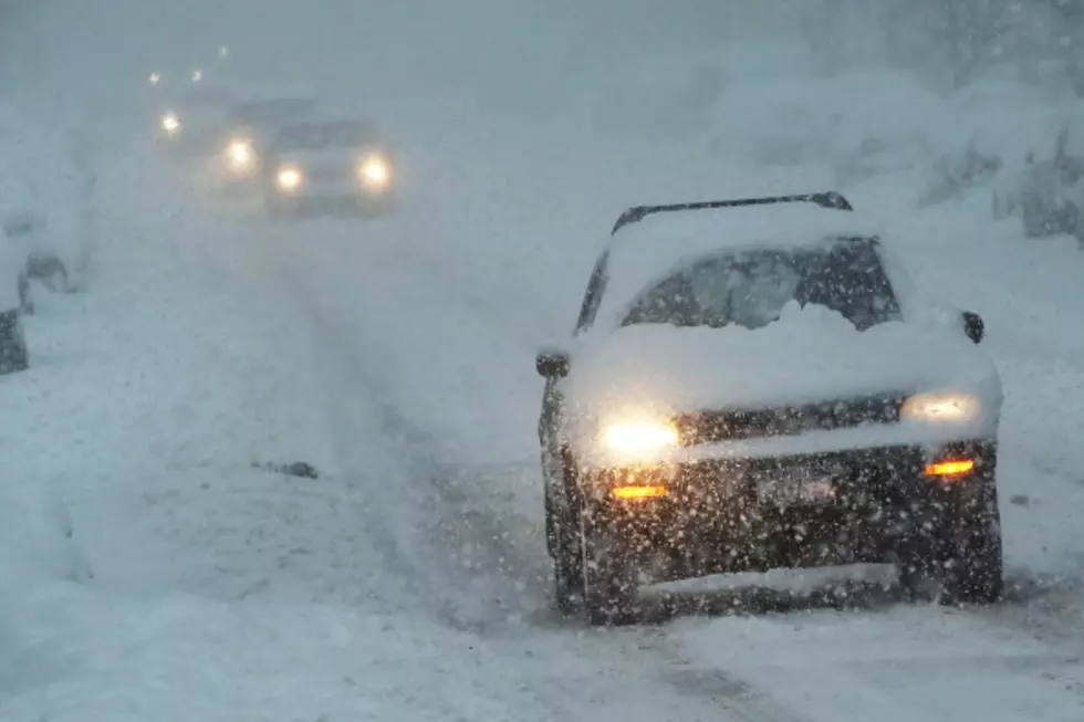
The first day (Tuesday, October 12) gave us a few inches of wet heavy snow and some slushy slick roads. But, it wasn't anything that was a real concern to most of us.
Tuesday night is when it all started to change, and by 11:00 pm the roads began to close and it was clear that this was going to be an actual SNOWSTORM.
On Wednesday morning closed roads greeted many of us, and kids in Converse County School district 1 and 2 had a snow day.
We reached out to you and asked you to share your pictures of this early winter (or late fall depending on how you look at it) snowstorm.
Here's What Central Wyoming Looked Like After A Major October Snowstorm
You can take a look at this Facebook post to see what everyone had to say about this major storm.
Thankfully by Wednesday late afternoon, the clouds broke and the sun came out. We can expect temperatures in the 50's this weekend...but this was a good reminder of what we can expect over the next 9 months.
If you have a picture you'd like to share you can send it to us using the My Country 95.5 Mobile App.

Should Natrona County Schools Have Closed For A Fall Snowstorm?
Wyoming Winter Emergency Kit
More From 107.9 Jack FM