Video Shows Possible Tornado in May Storm that Hit Douglas
The thunderstorm a few weeks ago that hit Douglas may have also spawned a tornado. There's new video that shows a possible funnel touch down, but it could be something else.
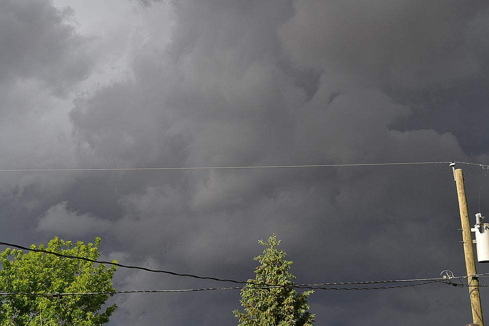
Jeremy Shields just shared this video taken near Douglas during the May 20 storm.
As Jeremy mentions on his video, he initially thought it looked like a tornado as you can see some rotation and what appears to be a touch down. But, the NWS and other chasers indicate that they believe it was actually what is known as a scud.
A scud cloud by definition is also known as a pannus. As Wikipedia mentions, their location as part of a wall cloud can make them look very much like a tornado:
Scud clouds are very commonly found on the leading edge of a storm front. In this area of a storm, scud are commonly associated with shelf clouds.
This was the same storm that dropped half-dollar sized hail on the air. I had my wife who is a meteorologist look at the video and she was about 50/50 on whether this was a very minor (meaning EF0) tornado or scud. Even without a tornado, this storm dumped a ton of hail on and near Douglas.

UP NEXT: 18 Most Terrifyingly Haunted Places in Wyoming
More From 107.9 Jack FM